Tag Archives: Kayaking

River receding. June 22, 2014

A month after my first foray onto the river for 2014, I was back to see what change time had wrought.

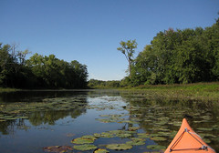
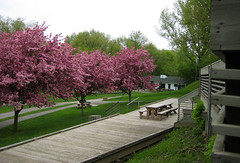
The cherry trees were in full dark leaf, not a blossom to be seen. All the foliage was full and just losing the brilliant emerald of spring. The river had withdrawn from the grass and dropped enough to leave a lip of bank, maybe down about 3-4 feet, although the trees at the edge were still rooted in water.

I paddled up towards the bridge to Île Gagnon, but the current under the bridge still looked brisk, so I decided not to court a dunking quite so early, and turned back, past the launch site and out the Eastern end. Bright blue, cloudless sky, just enough wind to burr the water, water still very brown, silty and opaque. Quite a few kayaks and powerboats out amongst the islands.

I started out by crossing over to the lower part of Île de Juifs, to check whether the channel between Île de Jiufs and Île aux Fraises was still passable; it was, with sufficient attention to the inverted Vs in the water marking rocks. Water was still high enough that the greenery came right down to the water's edge, no bank visible. I paddled west up the channel and out the upstream end, past a spectacular deadfall.

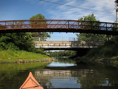
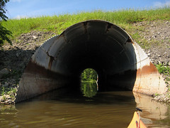
Then west to Île Langlois and across to the south bank and the culvert alongside the Trans-Canada Highway / de Laurentides bridge, which was still passable, though not as much as a month ago. Sheltered, it was still, warm, and scummy, and ruled by red-winged blackbirds. From there I went uneventfully through the tunnel under the Autoroute de Laurentides and steered wide of the people fishing off the embankment to the bridge to Ile Locas. Still a stiff current coming under that bridge, but this time I was prepared for it, and did not get turned around in the eddy. I merely had to work a little. From the other side of the bridge I could see that the platform was once more out near the marsh.

I wanted to check out last month's flooded areas, given the drop in the water level. Île Lacroix had reemerged from the waters and was now fringed with spiky young reeds. A few points along the southern shore were still flooded, and with care I could work my way in amongst the trees and look back out, but the long contiguous passage towards the rear of the marsh that I had explored on my last outing was gone.

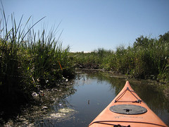
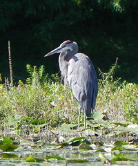
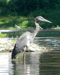
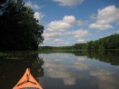
The marsh was wide open, with a thin but healthy growth of new reeds sketching in the usual summer limits (my usual panorama shot). I paddled through the reeds and debris, all the way into what later in summer will become an internal pond accessible only by a channel and then as the water drops further, becoming inaccessible. It was windless, with brilliant sunshine sparkling off any flaw in the water, and reeds and foliage perfectly mirrored. The bird watching platform had has been placed on what will probably be edge of the reeds, but right now was far out in the waters. In the still blanched reeds of the northern bank, a unseen heron wheeze-gronked at I don't know what: me? the people on the far bank? passing shadows? her mate? I saw two others in flight around the periphery of the marsh, dark against the emerald trees.

After that, I decided I needed a break, but although there were now several visible steps and a dock at Île Gagnon, there was no beach, and my last attempt at reentry from that dock had ended with me chest deep in warm river for several minutes while I worked out the technique for extracting both feet from the mud. So I circumnavigated the island looking for somewhere I could use as a pull-out that was fairly close to the path, I being in sandals, and not wanting to push my luck after escaping ill-effects from last time's excursions. I found a tree on the water's edge beside the lookout, and I used that as anchor and leverage to help me scramble out onto the slanting, stony, slippery bank. The paths were again paths, rather than canals. I ate my samosas and yoghurt sitting on the bench, and then walked along to the toilet, finding the path up to the toilet shed enthusiastically overgrown. The toilet roll had suffered the depredations of some nest-building critter – the outer layers were shredded, with drifts of small fragments trapped against the base of the shed.

We shall draw a veil over my re-entry. I avoided falling into the water, and I did not lose my sandals, my paddle, or my dignity, although I preserved the latter mainly by making sure no one was within view, and a notable amount of mud came into the cockpit with me.

I was tempted to go back to the marsh for some more photographs, since the sky had begun to fill up with photogenic pebbly white clouds. But there were other places to see. Crossing the main channel from Île des Juifs had convinced me I still did not want to wrestle with the downstream current past Île de Mais (and that I need to get myself into a gym next winter), particularly since a couple of power-boat and aquaskis were already tearing up the main channel. I headed across to the far side of the river to check out road bridge linking Île Morris and then the Pont Gédeon-Ouimet (the one I keep thinking of de Laurentides) for swallow's nests. I caught a glimpse of one or two birds, but the nests I saw were few, old and empty. I only spotted two families of ducklings, one quite mature, and one younger, although I saw very few female mallards.

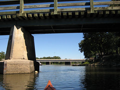
With the water still high, I could work my way up the channel between Île Lefebvre and Île Morris, through mats of water-lilies and around stands of broken reeds, to the columns supporting the motorway bridge, which rested on mud and just enough water to float a kayak. Something is preying on the water-lily leaves: many of them were yellow, with concentric curving cuts, like paper art (there's a word, but that neuron is just not letting go). On the far side of the motorway bridge, beyond the water, was the rusted relic of an older bridge, one that looked more like a railway bridge than a roadway bridge. From there, I could look eastwards down the channel towards Île Saint-Mars and Île des Lys. As I cleared the reeds nearest the bridge, a flurry of splashing broke out behind me, repeated at intervals in an uneven circuit around the edge of the reeds, with flashes of scale and and fin and slaps on the water. I could track it … whatever it was … by the irregular motions of the reeds. My foremost hypothesis that one of the huge river carp was trying to eat something large and uncooperative – and I was torn between holding the paddle and or the camera, but as the disturbance began working its way towards me, I opted for the paddle, and a slow retreat. Top predator or not, I didn't want that brawl exploding under my keel.

All went quiet for a little while, until something splashed off a fallen log against the shore of Île Lefebvre. I expected to see a muskrat or a maybe even a beaver swimming away, but all I saw was the same pattern of twitching leaves and thrashing headed up towards the bridge. It dawned upon me that I was seeing the big fish brute-forcing their way through the obstacles of reeds and shallows. I tracked a third set of twitching reeds and ripples upstream on a similar transit to the second, during which a broad scaly back broke the surface and unfurled a dorsal fin the size of my five fingers. The closest I knowingly came to one of them was when my brain belatedly caught up with my eyes as I slid my paddle down between lily pads onto a long shadow. I don't know which was more startled, the fish or I.

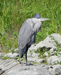
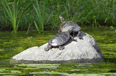
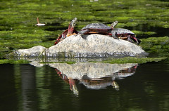
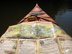
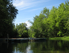
I then crossed over to explore a section of the riverbank accessible from the shore by a raised walkway, which was still flooded enough to let me through into what must later in summer be a pasture. The water was shallow, still, clear, and noticeably amber, but clean enough to support an abundance of tiny fish, and the occasional larger one, passing through. And turtles. While I was on the landward side, a heron dropped in alongside my exit channel, but I was saved from the decision as to when to disturb it by a quartet of my fellow humans, tramping down the walkway. Not sure whether they even noticed the bird. I spread out my map on my deck to figure out where to go next, and took a panorama shot from the shade of the forest.

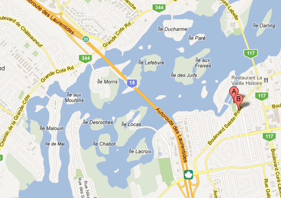
Since I'd been playing the 'I'll get the next bus' game with myself for two hours by then, I ducked down behind Île Ducharme to check its bridge for nests – no – and its pullouts for turtles – also no – although I was pleased to see one small house in particular restored from the damage it had suffered during a severe thunderstorm last July. Since I wanted to go under the bridge into the lagoon with the current, that then meant I had to go upstream and around the top of Ile Gagnon, which I did, again via the channel between Ile des Juifs and Ile aux Fraises, and then crossed the channel (and the current) west of Ile Chapleau and Ile Kennedy, took a panorama looking west from Ile Gagnon, and then paddled around the upstream side of Ile Gagnon and raced two kayaks and two canoes to the bridge (I came second). I was trying to get ahead of them in the queue, to make sure I caught my bus – the 1441 73 to Cartier. Despite a few suspenseful moments when it seemed the quartet in front of me at the return desk would never focus on the task at hand, I did.
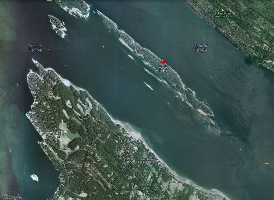
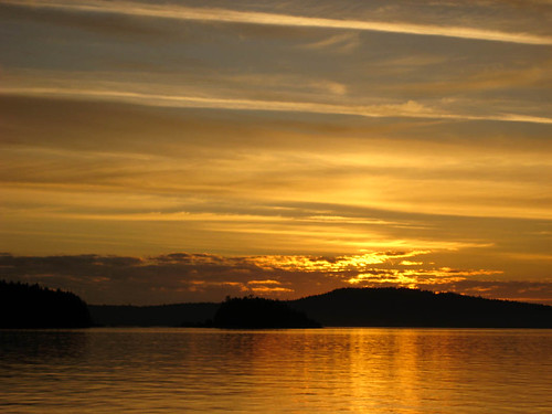
Wallace Island (September 25, 2012)

On my just-ended visit to the West Coast, I had the good luck to catch what was probably the last tour of the season run by Salt Spring Adventure Co., and the even better luck that it was the one I would chosen, the Marine Park Tour to Wallace Island off the north side of Salt Spring Island (Parks Canada page).

Wallace Island map

That made for an early start, since to make the 0930 muster in Ganges, we (being myself, my long-suffering parents, and a trunk full of golf clubs) had to catch the 0700 ferry from Schwartz Bay to Fulford Harbour.

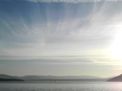
It was a cool, clear morning, a calm crossing – the most exciting it got was when we rocked gently over the wake of the 0700 Tsawassan-bound ferry – and a beautiful sunrise, although the photographs of the sunrise itself are more orange than the visible hues, which were more dusky shadow and pink. We came into Fulford with the first full light of the sun, picking out the early-turning leaves.

Sunrise from the Salt Spring FerrySunrise from the Salt Spring Island FerryApproach to Fulford Harbour

We got breakfast in Ganges – I should have noted where – and I discovered that I have become unused to asking for a small hot chocolate and getting a small hot chocolate, as opposed to the coffee chains’ sizing of large to where’s-my-bathtowel? It was pretty good hot chocolate, accompanied by banana loaf.

Salt Spring Island Adventure Co. is on Upper Ganges Road, and fortunately – this time – my dad did not listen to my opinion on direction. At the office, I met up with the quartet booked on the tour, and Shawn, the leader. My parents headed to the golf course, while I rode with Shawn to the launch point, which was just west of the government dock at the bottom of Fernwood Road, on a – at low tide – hard fan of exposed sand at the bottom of a ramp, so Shawn could back the kayak trailer and truck down onto the sand flat.

There was some initial uncertainty about the wind: the forecast included an initial wind-warning, with strong winds backing off to calm, and we could not tell how timely the backing off would be. We had the advantage that although the wind was still blowing, there was not a long fetch in in its direction to build a big swell. When we launched around 11 am, we had a small swell, but not enough that we needed to choose between using our hands to get the spray skirt on before the next wave crawled into the cockpit versus to prevent ourselves being blown ashore, a dilemma we all know and love from Willows Beach in the winter. I was paddling a yellow, plastic Eliza, which I figured would be a good test of whether it was a suitable boat for me. I’ve paddled Elizas several times on the Lachine Canal, and while the cockpit fits like a glove, it always felt a little twitchy underneath me. Which might be because I have been mostly paddling either the Kestrel or rentals – which are generally chosen to be untippable by usual exertions – although I didn’t notice twitchiness when I tried out a Cetus and an Aries at the Montreal Paddlefest. Or it might be because I’m on the tall end of the range the boat was designed for.

The Eliza still felt a little twitchy. Not actually unstable, but I was aware of my core muscles hitching. The swell was about eight to ten inches and we were paddling more or less into it – we sighted on a buoy just up the coast from the southern tip of Wallace Island, expecting that we’d get blown downwind to where we wanted to be. It turned out we had the beginning of the flood tide pushing against the wind, and so wound up adjusting and heading directly for the tip, pausing to accommodate a power-boat, who, with the entire channel behind us, had to pass aft. We had launched under cloudy skies, but as we paddled, the clouds opened up above Salt Spring, and as we reached the tip of Wallace, the sun reached us.

Southern tip of Wallace Island

We regrouped, adjusting seats and peeling off layers, then worked our way up the west shore of the island through patches of bull kelp, hugging the rocks to stay out of the wind and spotting sunflower stars and ochre stars (the purple version) amongst the rocks, and playing spot-the-kelp-crab. We pulled out noonish at a narrow little cleft about a quarter of the way up the island . . .

Pull-in opposite Conover CoveView NW along N side Wallace Island

. . . opposite Conover Cove, formerly a resort, and ostensibly once developed as a retreat for Marilyn Monroe, though she died before she could visit. I didn’t take a photograph of the open shelter curtained on all four sides and the interior with broken paddles and pieces of driftwood chained on wires, inscribed with the names and dates of visitors; I should have. I was too entranced by the bay itself.

Conover Cove, Wallace Island 

We had lunch at a picnic table – very civilized – under arbutus and Douglas fir at the edge of a clearing overlooking the bay. We’d been told to pack lunches, and I had a samosa, yoghurt with blackberry sauce, haystack brownies, and Shawn fed us all sweet coconut macaroons and a peach-tasting tea. Then we portaged the very short distance across the island, and put into Conover Cove.

Readying to launch, Conover Cove

My yellow Eliza is the boat on the left. When we paddled out, we found an entirely different body of water than the one we had left, glassy smooth and gently rippled, almost windless.

View NW along S side Wallace Island

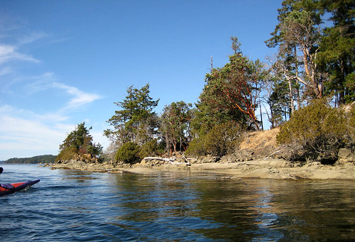
From the mouth of the bay we turned north-west along the Salt Spring side of the Island, past some fascinating sandstone formations, pitted like a rock Aero bar, except with wildly varying sizes of bubbles. I have a notion – which might be based on an outdated understanding picked up during my early teenage years as a would-be geologist – that these originate when sand and small stones work their way into cracks and are swirled around, eroding pockets that are enlarged by ongoing erosion.

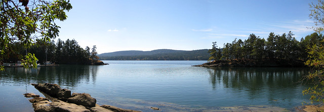
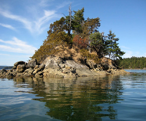
About half way up the island we came around a promontory and looked back down a long, narrow side pocket, I think it’s called Princess Bay. I was more interested in the small islet, broken off the tip.

Off S side Wallace IslandOff S Wallace Island, round Princess Bay

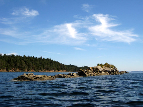
We kept going to about three quarters of the way up Wallace, where we could see the gap between the tip of Wallace and the Secretary Islands, and then swung out and around some isolated rocks and their seal colonies. Their camouflage was excellent: their round bodies just about matching the colours of the rolls of sandstone, and white patches on their heads like the patches of bird lime on the rocks.

Secretary IslandsSeals and rocks, off Wallace IslandRocks, across Wallace Island

And then we angled across to the launch site, just sliding along on the glassy water. Shawn lent me his graphite paddle for a stretch, and compared with a standard paddle, it felt as though I needed to keep a hand on it to stop it drifting off on the breeze. Nice! So along with boat upgrade, there will be a paddle upgrade. The incoming tide had just about covered the original packed sand fan, but there was just enough beach left for us to land, offload, and unpack. Then the other four climbed in their car, and Shawn dropped off the kayaks at their winter rest, and I rode with him back into the office to meet my parents, who had managed 18 holes of golf on a 9 hole course.

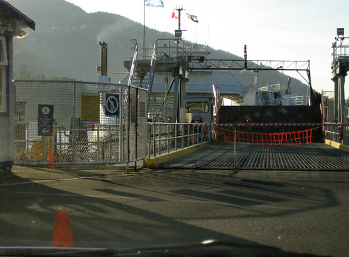
We hadn’t expected to make the 1550 ferry, and we didn’t, but we also hadn’t expected to be quite as painfully close as we were: we arrived to see the ferry still at the dock, but with the drawbridge up and all lights red.

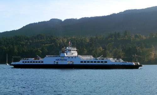
Ferry, 2 minutes after departure

Our meal at the Rock Salt Restaurant and Cafe was – in my hungry opinion – quite adequate compensation. I had their Tuk Tuk Rice Bowl (recipe from their site): salmon in spicy tomato-coconut sauce on coconut rice, with a citrus Asian slaw, the latter delectable enough to convert me to cabbage. Desert was a dense and deadly chocolate mousse. A couple of motorcyclists preempted our first-in-line position, but we were still the first car on the 1750 ferry to Schwartz Bay. We didn’t quite get to see the sunset from the ferry, but the light was bright and low-angled.

Ferry, returning 2 h laterView from the Schwartz Bay bound ferry

Here’s a description of part of our route from people who launched where we did, and then paddled direct to Conover Cove to camp as their first leg on a longer trip. Shawn estimated that a full circumnavigation would take 5-6 hours of paddling. There’s evidently a nice campsite at the north tip of Wallace Island, accessible only by boat.

A summer in the Parc, part 3

Cross-posted from Kayak Yak Yak

Final catchup post . . .

September 11, 2011

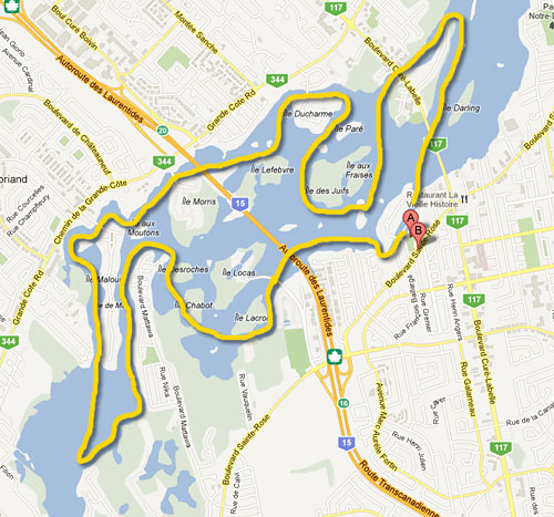
Map of route

This was the day I got on the water shortly after 9 am, and came off in time to catch the 4:30 pm bus, setting a record of 7.5 hours. A still, warm, brilliant late summer day, in which I went out of bounds, paddling half way around the basin beyond Ile de Mai, and then – daringly – back across the middle. Here’s the view the eastmost, or at least up-stream-most point . . .

Parc de la Rivière-des-Mille-Îles, 11 September 2011, view west towards Île de Mai

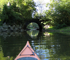
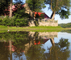
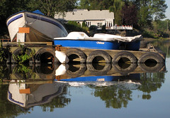
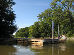
It was one of those glassy water days, when despite the effortless paddling, progress is exceedingly leisurely because of all the photo-pauses to capture all the lovely reflections, starting with the – now quite low – tunnel under the bridge to Île Gagnon, the red house, and blue boats docked alongside.

Parc de la RiviereParc de la RiviereParc de la Riviere

Pause to take the first of many panorama shots, looking towards the north bank. That’s the De Laurentides bridge on the left of the photo, disappearing behind Île Langlois. Île des Juifs/Île des Fraises lies, just to the right of my bow, then Île Gagnon. I don’t know the name of the islet with the sparse trees and the yellowish beach.

Parc de la Riviere des Mille Îles, September 11, 2011

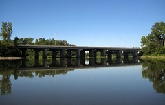
Parc de la Riviere-des-Mille-Îles, 11 September 11, de Laurentides bridge

I paddled under the de Laurentides bridge, under the footbridge to Île Locas, and up the shallow, water-lily strewn channel between the river bank and Île Lacroix, towards the marsh. The water was very shallow and very weedy.

Parc de la Riviere

Obligatory panorama shots of the marsh itself: From the approach to the the south . . .

Parc de la Riviere-des-Mille-Îles, 11 September 11, looking towards the marsh from the south

Looking directly at the marsh . . .

Parc de la Riviere des Mille Îles, September 11, 2011
Towards Île Chabot . . .

Parc de la Riviere des Mille îles, September 11, 2011

Looking east from the marsh, towards Île Locas and Île Lacroix.

Parc de la Riviere-des-Mille-Îles, 11 September 11, view east from the marsh

I could get only a little way into the marsh, via a channel that I suspect had been dug out, before running into a bank of debris. Water was very shallow, and I stirred up black mud and marsh gas with every stroke, no matter how careful.

Parc de la Rivière-des-Mille-Îles, 11 September 2011, poking my bow into the marsh

So I left behind the marsh and glided through through the narrow channel between Île Chabot and the promentary from the south bank, and along the channel between the bank and Île Desroches.

Parc de la Riviere-des-Mille-Îles, 11 September 11, river bank by Île Chabot and Île Desroches

. . . up the south side of Île de Mai, hardly noticing the current that on past paddles had nearly stalled me before the top. At the top, I eyed the vista before me and then decided to go for it, working my way up the south coast past people’s little river runabouts . . .

Parc de la Rivière-des-Mille-Îles, 11 September 2011, riverboats

To where the river began to narrow again, at which point I turned around and headed back towards Île de Mai. Discovered I am out of practice for paddling long open stretches. (Yes, I hear you say, that is not a long open stretch; it only felt that way.)

Parc de la Rivière-des-Mille-Îles, 11 September 2011, view west towards Île de Mai

And then sauntered downstream on the north side of Île de Mai. This is the junction at the downstream end of Île de Mai. The eastern channel is on the left, the western channel, which joins in a T-junction, in front of my prow, strewn with rocks, and the channel between the northern bank and Île Morris on the right.

Parc de la Riviere des Mille Îles, September 11, 2011

The wildlife was enjoying the sunshine as much as I was: herons, out and about along the side of the river.

Parc de la RiviereParc de la RiviereParc de la Riviere-des-Mille-Îles, 11 September 11, heron

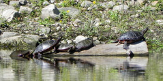
And turtles, alongside Île Chabot . . .

Parc de la Rivière-des-Mille-Îles, 11 September 2011, turtlesParc de la Riviere-des-Mille-Îles, 11 September 11, turtles

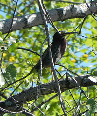
And an as-yet unidentified bird which held still long enough in the trees of Île Chabot.

Parc de la Rivière-des-Mille-Îles, 11 September 2011, bird (TBD)

Down the north side of Île Morris, under the bridges – where the swallow’s nests were all silent and empty (and unphotographed).

bridgesIleMorris_11sept11_v800

Big panorama that starts on the north bank and swings around to take in, I think, Île Lefebvre, in shallow waters full of water-lilies.

Parc de la Riviere des Mille Iles, September 11, 2011

Cirrus cloud moving in, marking a coming change in the weather.

Parc de la Riviere des Mille Îles, September 11, 2011

More turtles, east of the bridge behind Île Ducharme . . .

bridgesIleDucharme_11sept11_v800

turtles4_11sept11_v800turtles3_11sept11_v800

With a detour for a pit-stop, I then completed the circuit by paddling underneath the Boulevard Curé-Labelle and around Île Bélaire, then back between Bélaire and Darling, back under the bridge, and in to home dock, approaching from the east.

dock_11sept11_v800

pontcurelabelle_11sept11_v800mapondeck_11sept11_v800

Phew!  And then I went home, via La Popessa, for pasta.

The marsh through the summer

Just to show the changes in river and vegetation through the summer, here are my marsh-panoramas, with an attempt at alignment.

In May (May 22, 2011)

Parc de la Rivière-des-Mille-Îles, 22 May 2011
In July (July 1, 2011)

Parc de la Riviere-des-Mille-Îles, Canada day 2011, marsh

Parc de la Rivière-des-Mille-Îles, Canada Day 2011

In September (September 11, 2011)

Parc de la Riviere des Mille Îles, September 11, 2011

In October (October 10, 2011)

Thanksgiving on the river

A summer in the Parc, part 2

Cross-posted from Kayak Yak Yak.

Second digest post of trips to Parc de la Riviere-des-Mille-Îles this summer.

July 1, 2011

Map of route

Kayaking seemed a fitting way to celebrate Canada Day, and the weather was ideal, so off I went on my usual schedule, 0829 De Laurentides bus from Cartier to the Parc. There were already a few groups getting ready, and I knew there would be many more by the end of the day.

I turned west from the landing, under the bridge to Île Gagnon – already noticeably shallower in comparison to May – and out onto the river.

Parc de la Rivière des-Mille-Îles, Parc docks, Canada Day 2011Parc de la Rivière des-Mille-Îles, Canada Day 2011

The water was still high enough for an easy trip through the tunnel underneath the south side of the des Laurentides bridge.

Parc de la Rivière des-Mille-Îles, tunnel under de Laurentides, Canada Day 2011

Then under the footbridge to Île Locas, and up the north side of Île Locas to the marsh, with the birdwatching lookout clearly in view.

Parc de la Rivière des-Mille-Îles, Canada Day 2011

Parc de la Rivière-des-Mille-Îles, Canada Day 2011

The water level was still high enough that I could poke my prow into the marsh, though all around me I could hear herons muttering and whuffling, and I figured by now they might well be nesting, so I didn’t push it. (On the map, if you draw a line from the tip of the promontary just west of Île Chabot to the bank just west of Île Lacroix, everything to the west of that is filled in with marsh and reeds. This photo has me towards the northern margin, just below Île Chabot. That stand of trees beyond my bow marks the little island. I really ought to come back and annotate these maps, but if I wait to do that, these posts won’t go up until December).

Parc de la Riviere-des-Mille-Îles, Canada day 2011, marsh

Then I crossed to the north side of the river, to go up the north side of Île de Mai, loop round the top, and come down the narrower, quicker-moving channel. No photos from this side.

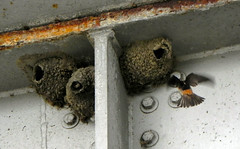
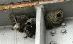
And swung back around the north of Île Morris, to check on the progress of the swallows nests underneath the De Laurentides bridge. Clearly, I’d missed the building stage completely: the nests were built, and already occupied by something hungry, if the constant activity of the parent-birds was anything to go by.

Parc de la Rivière des-Mille-Îles, swallows, Canada Day 2011Parc de la Rivière des-Mille-Îles, swallows, Canada Day 2011

Here’s what the north bank of the river looks like, around Île Lefebvre,

Parc de la Rivière des-Mille-Îles, Canada Day 2011

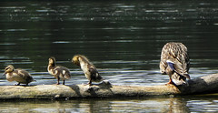
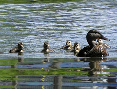
Then I paddled back across to the south side of the river (with a pit-stop at Île de Juifs) and worked my way up the shallow, increasingly narrow side-stream just to the east of the de Laurentides bridge. I’d noted it on the way up as a potential side trip. I was stopped by a minor logjam, but on the other side, in a shaded pool, I spotted a mallard with her milling clutch of ducklings, visible more as motion than shapes in the shadows. To my pleasure, the little things bumbled up and over and around the obstruction, towards me. I started poking my way backwards, trying to stay out of their way at the same time as I took photos. Unfortunately, my autofocus was keener on sharp edged grass than cute fuzzy ducklings, so I have a number of fuzzy photos of cute fuzzy ducklings. The best ones were taken against water.

Canada day paddle, duck and ducklingsParc de la Rivière des-Mille-Îles, ducklings, Canada day 2011

Parc de la Rivière des-Mille-Îles, ducklings, Canada day 2011Canada day paddle, duck and ducklings

I’ve been startled by the speed with which ducklings skitter back and forth across the water, but it occurred to me that I was thinking from the perspective of a naked ape who has to slog along with most of its volume immersed, instead of a little ball of waterproof down and trapped air that displaces a fraction of its body-weight and therefore has negligible resistance to the thrust of its (comparatively) big webbed feet.

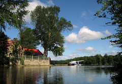
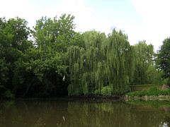
. . . And then back past the house with the red roof, and through the tunnel (this willow is to the left of the tunnel), and back to the landing.

Parc de la Rivière-des-Mille-Îles, 11 September 11, willow on Île Gagnon

August

August seemed to consist of a whole month of sunny, calm Tuesdays or Wednesdays or Thursdays, glorious for kayaking, miserable for working in an office that never seemed to get below 82F on the thermostat despite the loud wheezing of our antiquated air-conditioner, while the weekends were rainy and miserable, or had a strong wind warning. Or worse.

Decided to split this post into to two, otherwise both its production and its length were going to become exceedingly protracted. Stay tuned for the longest paddle yet.

A summer in the Parc, part 1

Cross-posted from Kayak Yak Yak.

This the first of two three catchup posts of my summer visits to the Parc de la Rivière-des-Mille-Îles.

Saturday April 30, 2011

Map of route

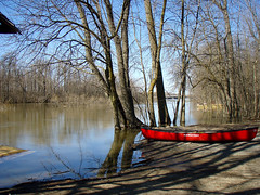
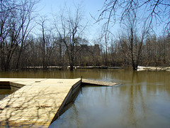
My very first trip this year was two weeks before rentals opened, on April 30, when I did a Saturday scouting expedition, thinking that if I could find a good launch site close to the west side of the Park and the marsh, I would return with the Dragonfly on the Sunday and get a jump on the summer. I hopped off the 73 bus at the gate to the Parc, and trotted down to the landing, meeting the water rather before I expected: the small steep muddy beach that serves as a launch site was underwater, as was the bank above the beach, as were the trees at the top of the bank. The gangway to the dock, instead of sloping down, sloped up to the dock; the anchor point was underwater. Across the flooded channel, I could see various forlorn pieces of summer equipment. I estimated the water was six or seven feet above the ordinary level.

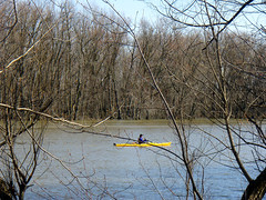
I followed Boulevard Sainte-Rose west, detouring down side streets down to follow glimpses of the water, and eventually down a km-long packed mud track past the golf course on the west side of des Laurentides which accessed the footbridge over to Île Locas. Last summer, I’d seen fishermen casting from dirt shoulders on either side of the bridge. No dirt shoulders now; I would have had somehow to scramble down the bank and directly into the boat. That after a kilometer or so of slog. Everywhere the river was up over its banks and in amongst the trees. In mid-channel, it was the colour of cold milky coffee, and briskly moving. I saw a single kayaker paddling upstream in a yellow hard-shell boat that was the brightest colour in the landscape, but I could just envision myself trying to make headway in my own little yellow Dragonfly, with its flat bottom and metronome swivel. Or not.

Parc de la Rivière-des-Mille-Îles, launch site April 2011Parc de la Rivière-des-Mille-Îles, launch site April 2011Parc de la Rivière-des-Mille-Îles, early kayaker

May 22, 2011

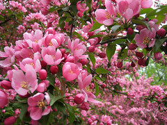
Three weeks later, the rentals were open and the cherry blossoms were out, although the sun wasn’t. The day was grey and chill, courtesy of The Spring that Never Was, but not raining, not blowing, and I was not to be stopped.

Parc de la Rivière-des-Mille-Îles, at the landing, 22 May 2011Parc de la Rivière-des-Mille-Îles, cherry blossom, 22 May 2011

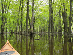
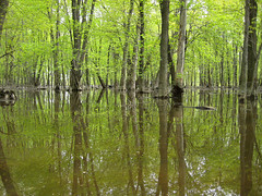
I headed upstream, paddling against the current beneath the bridge to Île Gagnon, and up along the south bank of the river, underneath the autoroute des Laurentides and then south of Île Lacroix. Where Île Lacroix bends, the woods at the river’s edge were flooded deeply enough for me to take the kayak into them, which I did.
Parc de la Rivière-des-Mille-Îles, flooded forest, 22 May 2011Parc de la Rivière-des-Mille-Îles, flooded woods, 22 May 2011
Parc de la Rivière-des-Mille-Îles, flooded forest panorama, 22 May 2011

I was sitting in my kayak, with the nose against grassy mud, looking around, when I caught sight of a distinctive striped pointed shape underwater off my bow. I misparsed it at first, thinking snake, and the sudden flaring of the front flippers was disconcerting (Hooded cobra! Way too many B-movies at an impressionable age). I recognized it just as it began to float upwards to the surface, and I snuck a hand out for the camera. At that point, unfortunately, the turtle recognized me as foreign and possibly threatening. Flippers, head, snapped back into its shell, lying almost edge-on to the surface, and almost hidden in mud. I waited. It poked its head gingerly out a couple more times, but each time was quicker to withdraw, so I decided to do the polite thing, and take myself off.
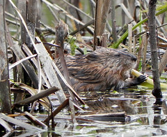
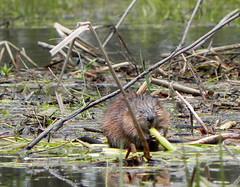
On the other hand, nothing and no one was going to put this muskrat off the reed it was munching with all the blissful obliviousness of a child left alone with a stick of rock candy, sitting on a mat of rotten last-summer leftovers under the flooded trees.

Parc de la Rivière-des-Mille-Îles, muskrat, 22 May 2011

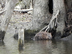
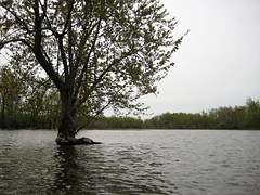
The sight of the marsh itself was a shock. With the water this high, I’d anticipated being able to get well into it, but . . . where was the marsh? Where was the land? Nothing remained but a grey expanse of water with some brown stubble of last year’s reeds. I wandered the watery wastes in bewilderment, round the back of the little island that used to be, took photographs of the bare marooned trunks and sodden branches, and strange cocoons wrapped around desiccated reeds (which came out blurry, autofocus having favoured the stark branches in the background). The only visible living critter was another muskrat crouching on a root knuckle and looking distinctly morning-after-ish. But although the day was dull and the early spring colours were drab, the birds were feeling anything but, with birdsong coming from all around.

Parc de la Rivière-des-Mille-Îles, 22 May 2011

Parc de la Rivière-des-Mille-Îles, muskrat, 22 May 2011Parc de la Rivière-des-Mille-Îles, isolated tree, 22 May 2011

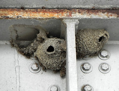
For lunch, I sat on the steps at Île Gagnon, with the kayak hitched to the upright and floating at my feet. I watched the grey waters and the sparse traffic, three or four kayaks, a couple of outboards. Then I paddled across to the north side of the river, past Île aux Moutons – I didn’t feel like fighting the current alongside Île de Mai – between Îles Chabot and Clermont, and up and around Île Thibault, with the intention of checking on the activity underneath the bridge from the Autoroute de Laurentides, where I had seen swallows nest-building last summer. I was too early in the year; the only nests were abandoned ones, and it was not easy staying on station, against the current, to get a photograph. Going under the bridges, riding the current, was entertaining.

Parc de la Rivière-des-Mille-Îles, abandoned nests, 22 May 2011

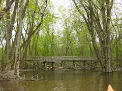
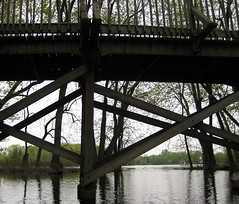
Also between Île Thibault and Île Lefebre, as best I can tell on the map, there’s a wooden bridge over a stretch of marsh, which I was able to paddle under, and in amongst the trees, look back out at the river. Somewhere around there, another muskrat was making short work of another reed.

Parc de la Rivière-des-Mille-Îles, bridge at Île Lefebre, 22 May 2011Parc de la Rivière-des-Mille-Iles, under bridge on Île Lefebvre
Parc de la Rivière-des-Mille-Îles, muskrat, 22 May 2011

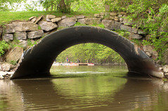
And then I crossed over above Île des Juifs, came round the top of Île Gagnon, through the tunnel under the roadbridge, and let the current sweep me back to the landing. Mission accomplished.

Parc de la Rivière-des-Mille-Iles, landing through tunnel, 22 May 2011