Cross-posted from Kayak Yak Yak
Final catchup post . . .
September 11, 2011
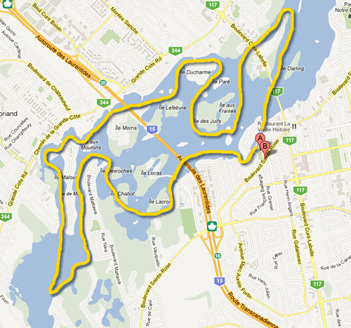
This was the day I got on the water shortly after 9 am, and came off in time to catch the 4:30 pm bus, setting a record of 7.5 hours. A still, warm, brilliant late summer day, in which I went out of bounds, paddling half way around the basin beyond Ile de Mai, and then – daringly – back across the middle. Here’s the view the eastmost, or at least up-stream-most point . . .
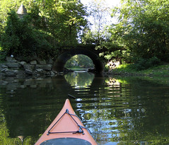
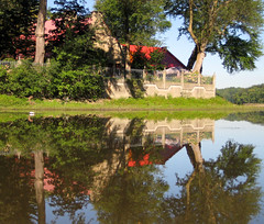
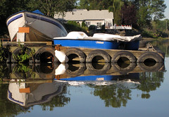
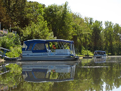
It was one of those glassy water days, when despite the effortless paddling, progress is exceedingly leisurely because of all the photo-pauses to capture all the lovely reflections, starting with the – now quite low – tunnel under the bridge to Île Gagnon, the red house, and blue boats docked alongside.
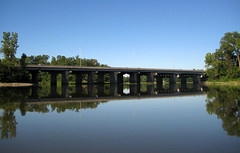
Pause to take the first of many panorama shots, looking towards the north bank. That’s the De Laurentides bridge on the left of the photo, disappearing behind Île Langlois. Île des Juifs/Île des Fraises lies, just to the right of my bow, then Île Gagnon. I don’t know the name of the islet with the sparse trees and the yellowish beach.
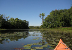
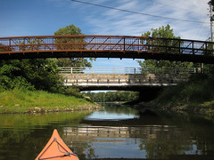
I paddled under the de Laurentides bridge, under the footbridge to Île Locas, and up the shallow, water-lily strewn channel between the river bank and Île Lacroix, towards the marsh. The water was very shallow and very weedy.
Obligatory panorama shots of the marsh itself: From the approach to the the south . . .
Looking directly at the marsh . . .
Looking east from the marsh, towards Île Locas and Île Lacroix.
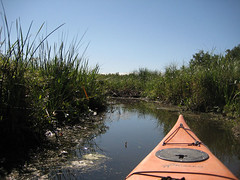
I could get only a little way into the marsh, via a channel that I suspect had been dug out, before running into a bank of debris. Water was very shallow, and I stirred up black mud and marsh gas with every stroke, no matter how careful.
So I left behind the marsh and glided through through the narrow channel between Île Chabot and the promentary from the south bank, and along the channel between the bank and Île Desroches.
. . . up the south side of Île de Mai, hardly noticing the current that on past paddles had nearly stalled me before the top. At the top, I eyed the vista before me and then decided to go for it, working my way up the south coast past people’s little river runabouts . . .
To where the river began to narrow again, at which point I turned around and headed back towards Île de Mai. Discovered I am out of practice for paddling long open stretches. (Yes, I hear you say, that is not a long open stretch; it only felt that way.)
And then sauntered downstream on the north side of Île de Mai. This is the junction at the downstream end of Île de Mai. The eastern channel is on the left, the western channel, which joins in a T-junction, in front of my prow, strewn with rocks, and the channel between the northern bank and Île Morris on the right.
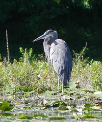
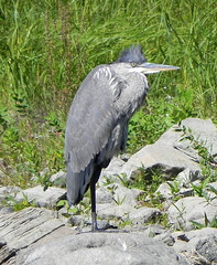
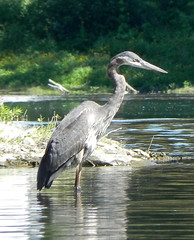
The wildlife was enjoying the sunshine as much as I was: herons, out and about along the side of the river.
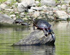
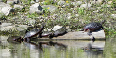
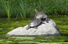
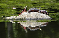
And turtles, alongside Île Chabot . . .
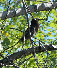
And an as-yet unidentified bird which held still long enough in the trees of Île Chabot.
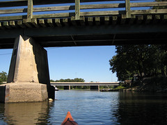
Down the north side of Île Morris, under the bridges – where the swallow’s nests were all silent and empty (and unphotographed).
Big panorama that starts on the north bank and swings around to take in, I think, Île Lefebvre, in shallow waters full of water-lilies.
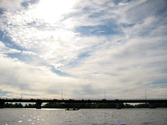
Cirrus cloud moving in, marking a coming change in the weather.
More turtles, east of the bridge behind Île Ducharme . . .
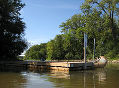
With a detour for a pit-stop, I then completed the circuit by paddling underneath the Boulevard Curé-Labelle and around Île Bélaire, then back between Bélaire and Darling, back under the bridge, and in to home dock, approaching from the east.
Phew! And then I went home, via La Popessa, for pasta.
The marsh through the summer
Just to show the changes in river and vegetation through the summer, here are my marsh-panoramas, with an attempt at alignment.
In May (May 22, 2011)
In September (September 11, 2011)
In October (October 10, 2011)
